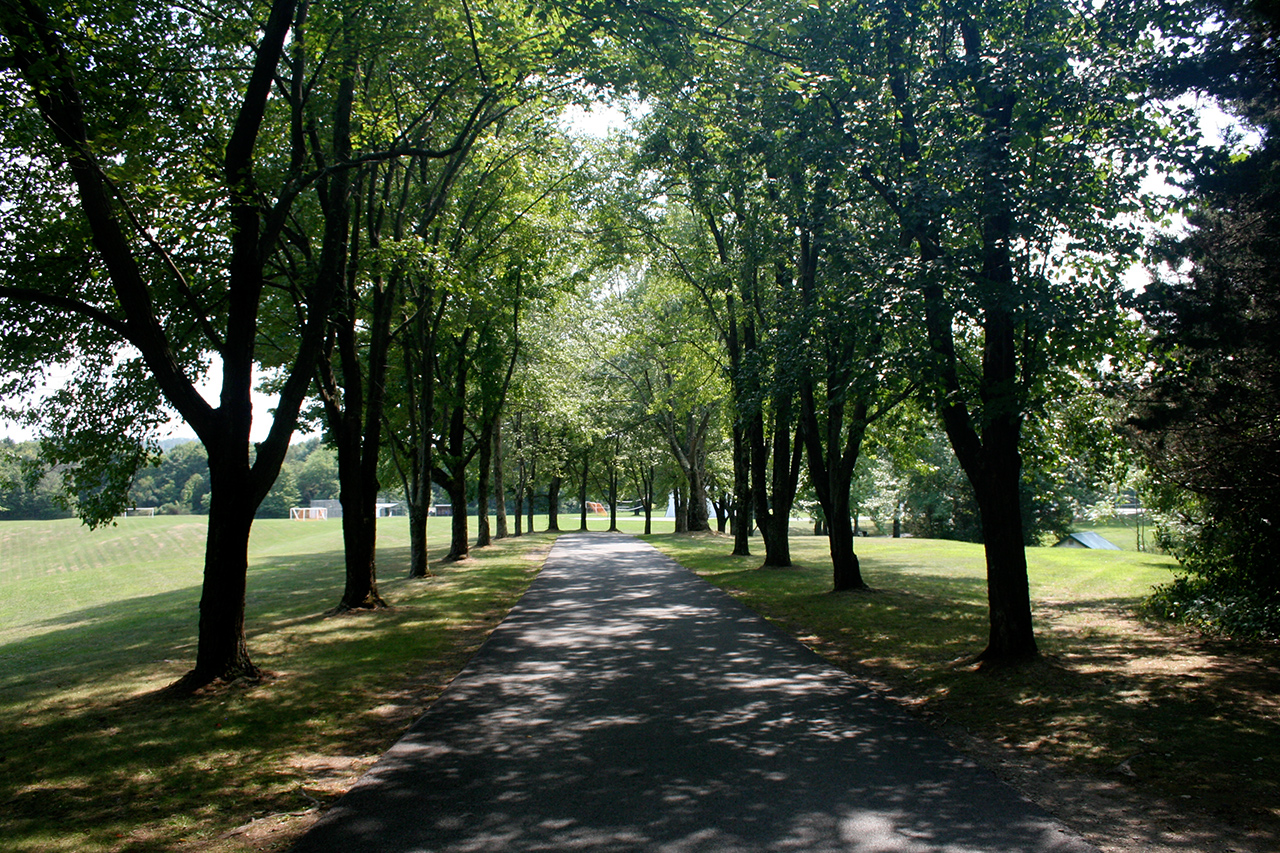
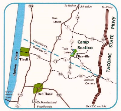
Scatico's 275 acres are located in the Hudson Valley region, approximately 100 miles north of New York City. The cultural centers of Stockbridge, Rhinebeck, and Woodstock are nearby.
From New York City, Long Island, Westchester, New Jersey, and Connecticut
- Approach Scatico from the Taconic State Parkway (see below). Exit at Jackson Corners (about 5 miles north of Red Hook/Rhinebeck Exit) At end of exit, make a left (west) onto Route 2. Follow Route 2 for 5 miles into Elizaville. Make a right onto 19 North. Camp entrance is 400 yards on the left.
To reach the Taconic State Parkway
- From Manhattan, take Henry Hudson Parkway north until it turns into the Saw Mill River Parkway. Follow the Saw Mill north about 40 minutes to the Taconic State Parkway. (You can also take the Major Degan to the Sprain Parkway or Saw Mill River Parkway to the Taconic.)
- From Long Island, take the Whitestone or Throgs Neck Bridge to the Hutchinson River Parkway. Follow Westchester directions.
- From Eastern Westchester below Rte 287, take the Hutchinson River Parkway north to 684 north. Follow 684 for 32 miles to 84 west. Take 84 west for 15 miles to Taconic State Parkway north. (You can also take the Sprain Parkway or the Saw Mill River Parkway to the Taconic.)
- From New Jersey, take the Palisades Parkway, Garden State Parkway, or Route 17 to the New York State Thruway (87) north. Follow to the exit for Route 84. Take 84 east approximately 10 miles to the Taconic State Parkway north.
- From Connecticut, take route 7 to 84 west to the Taconic State Parkway. If you are coming from the Hartford area, you can get directly on 44 west to the Taconic State Parkway.
For trucks and buses from the New York City area
- Since the Taconic State Parkway does not allow vehicles with commercial plates, you need to follow the Thruway (87) north to exit 19 (Kingston). Follow signs to Kingston/Rhinecliff Bridge. Cross the bridge and at the second light (first light may be blinking) make a left onto 9G (north) for 2 miles. Make right on 199 East (toward Red Hook) for 2 miles. Make a left at the light in Red Hook onto 9 (north) for 5 miles. Make a right onto 78 East (first right after the Tivoli sign). When you cross from Dutchess into Columbia County, 78 will turn into 2 (east). Follow 2 into Elizaville and make a left onto 19 North (after church). Camp entrance is 400 yards on the left.
From Boston Area
- Take the Massachusetts Turnpike (90) west to the Taconic State Parkway south. Follow for about 30 minutes. Exit at Jackson Corners. (If you've reached Red Hook exit, you've passed it.) At end of exit, make a right (west) onto Route 2. Follow Route 2 for 5 miles into Elizaville. Make a right onto 19 North. Camp entrance is 400 yards on the left.